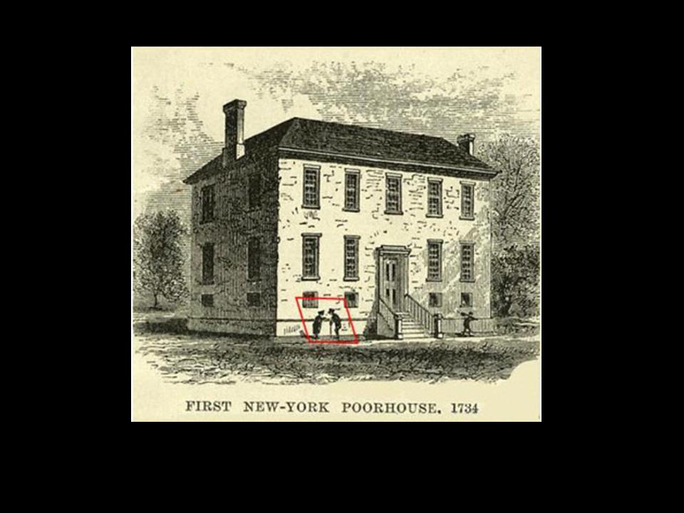
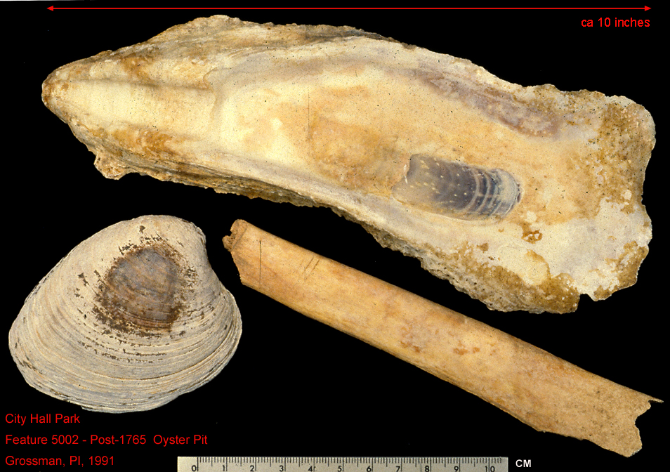
The Use of Historic GIS to Target the Location of the 1730 Almshouse, City Hall Park, Lower Manhattan - Grossman 1991
Digitally enhanced and enlarged reprojections of 18th Century Ratzer and Montressor Maps of the original Almshouse, scaled to the 2007 NASA air photo. © Grossman 2007.
STOP! - This is a self-starting Geospatial tour of 18th Century City Hall Park


