Note:
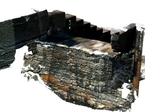
The following web pages represent a sampling of original report plates, both from 2002 emergency planning phase and from the second, 2004 deep-winter, mitigation phase which was sucsessfully completed in sub-freezing conditions and resulted in the first mm-precise, true-color 3D laser-radar record of an archaeological site - in this case caused by a natural disaster (See Grossman 2008 for a detailed account of the project and the technology).